calverley

© CalverleyInfo 2001-2014 - all rights reserved. This page last updated November 1, 2021

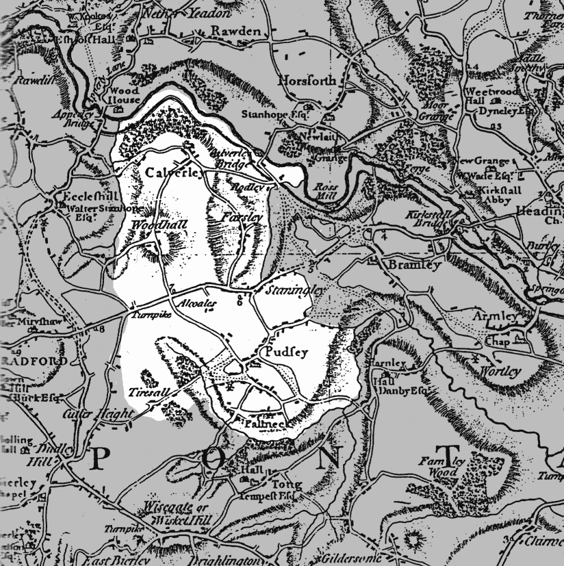
Calverley Parish Map

 
map

The Parish of Calverley covers an area between Leeds and Bradford. Included within its boundaries are the towns of Idle in the West and Pudsey in the East. Other settlements included are Farsley, Stanningley, Windhill, Bolton, Rodley, Tyersall, Stone Style, Calverley village, Wrose, Fulneck, Bagley, Bankhouses, Eccleshill, Owlcoates, Priesthorp, Richardshaw, Thackley, Thorpe, Wadlands and Woodhall. This map from 1770 shows our area of main interest in white, and other areas in grey.